
Skip to content
Part of the Equinox Group · Malta, EU · Mauritius, Africa
equinoxgroup.eu

Research and forecasting · October 2026 · 5 min read

Where food crises are likely next: FP-EWS forecasts on a 3D globe

FP-EWS, our research prototype, forecasts how likely food crises are in 507 provinces across Africa, Afghanistan, Guatemala and Haiti. Its latest forecasts are on a 3D globe, each one a forward test frozen before the maps that will score it are published. What they show, how they were tested, and where they fall short.

Interactive · 3D forecast globe

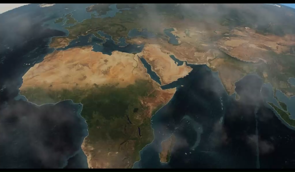
Where food crises are likely next

507 provinces in 33 countries, forecast for October 2026, February 2027 and June 2027.

Launch the interactive globe

Loads about 10 MB on first launch. Nothing downloads until you launch it.

Drag to turn the globe. Ctrl + scroll, pinch or the + and − buttons zoom it; plain scrolling moves the page. Hover a province for details; the 2D/3D button flattens the map. Open the globe full screen Unvalidated forward forecasts, issued 23–25 October 2026. Data: FEWS NET; CHIRPS v3.0 (Climate Hazards Center, UC Santa Barbara); UCDP GED (Uppsala University, CC BY 4.0); WorldPop (University of Southampton, CC BY 4.0); geoBoundaries (CC BY 3.0 IGO and others); Natural Earth; NOAA ONI and ERSSTv5. Full citations are in the globe’s About chapter.
Disclaimer. Satellite and Earth-observation imagery on this globe is provided as is, for general information only, without warranties of any kind. Algorithmic BrAIn accepts no liability towards anyone for its use or for any reliance on it. Proceeding to use it means you accept these terms. Read the full legal statement

1. Acceptance

By viewing, interacting with, downloading or otherwise proceeding to use the Imagery, you confirm that you have read this statement and agree to be bound by it. If you do not agree, do not use the Imagery.

2. Nature of the imagery

The satellite and Earth-observation imagery, basemaps, model outputs, forecasts, boundaries and other visualisations shown here (together, “the Imagery”) are compiled from third-party sources and processed by Algorithmic BrAIn. They are published for general information, research and illustration only. They are not survey-grade and are not suitable for navigation, safety-of-life, emergency-response, legal, boundary, financial, investment, insurance, humanitarian-operational or any other decision-making purpose.

3. Provided as is, without warranties

The Imagery is provided “as is” and “as available”. To the fullest extent permitted by applicable law, Algorithmic BrAIn Malta, the Equinox Group and their directors, officers, employees, contractors, licensors and data providers make no representation and give no warranty or condition of any kind, express or implied, including as to accuracy, completeness, timeliness, resolution, positional accuracy, satisfactory quality, merchantability, fitness for a particular purpose, non-infringement, or uninterrupted or error-free availability.

4. No liability

To the fullest extent permitted by applicable law, we accept no liability of any kind towards any person, whether in contract, tort (including negligence), breach of statutory duty or otherwise, for any loss or damage, whether direct, indirect, incidental, special, consequential or punitive, including loss of profit, revenue, data, business, opportunity or goodwill, arising out of or in connection with the access to, use of, inability to use or reliance on the Imagery, even where such loss was foreseeable or we were advised of its possibility. Anyone who uses or relies on the Imagery does so entirely at their own risk.

5. Boundaries and names

Boundaries, names and designations shown do not imply any opinion on the legal status of any country, territory or area, or of its authorities, or on the delimitation of its frontiers.

6. Third-party data

Source data remain subject to their providers’ own licences, terms and disclaimers, which apply in addition to this statement. Their use does not mean that any provider endorses Algorithmic BrAIn, this site or our interpretation of their data.

7. Rights that cannot be excluded

Nothing in this statement excludes or limits any liability that cannot be excluded or limited under applicable law, including liability for fraud or for death or personal injury caused by negligence.

8. Governing law

This statement is governed by the laws of Malta. Any dispute is subject to the exclusive jurisdiction of the Maltese courts.

This statement is also published in our legal notices.

Where are food crises likely in the coming months? FP-EWS, a food-crisis early warning system we are building as a research prototype, puts a probability on that question for 507 provinces in Africa, Afghanistan, Guatemala and Haiti. Its latest forecasts, issued on 23–25 October 2026, are on the globe above. FP-EWS is a work in progress, and its forecasts are unvalidated forward forecasts, not official classifications. This page sets out what they show, how the model behind them was tested, and where it falls short.

What the globe shows

Each forecast answers one question: how likely is FEWS NET, the US-funded Famine Early Warning Systems Network, to classify at least 20% of a province’s people in IPC Phase 3 (Crisis) or worse? It is asked for each of the next three FEWS NET periods: October 2026, February 2027 and June 2027.

The globe covers 441 provinces (admin-1 units) in 30 African countries and 66 provinces in Afghanistan, Guatemala and Haiti. Each province is drawn as a prism that grows taller and redder as the probability rises. A dark outline marks the 0.20 warning line, and a dashed blue outline marks the provinces forecast by the no-map model described below. Hover a province for its probability, the range across the model’s members and its last FEWS NET map. Any other country is named as not monitored by FP-EWS.

Show on the globe: the whole watchThe furthest month, June 2027

What the October 2026 forecasts say

In Africa, 403 of the 441 provinces have a forecast. At or above the 0.20 warning line are 110 provinces for October 2026, 116 for February 2027 and 135 for June 2027. The newest FEWS NET map behind them is from June 2026.

Outside Africa, 26 of the 66 provinces are at or above the line for October 2026, 32 for February 2027 and 38 for June 2027. FEWS NET’s archive for these countries ends in 2021 for Afghanistan and in 2022 for Guatemala and Haiti, so every forecast there comes from the no-map model. The test results below say how far to rely on it.

Show on the globe: beyond Africa

Two models, one for where FEWS NET is silent

The forecasts draw on CHIRPS rainfall, UCDP conflict events, the ENSO and Indian Ocean climate indices, and each province’s own history of FEWS NET classifications.

Two models share the work. O3 is used wherever FEWS NET has published a recent map. O3n, the no-map model, is used where FEWS NET has been silent for two years, and works from each province’s older FEWS NET history alongside rainfall, conflict and climate. In Africa it is about 40% less accurate than O3 with a recent map: the cost of forecasting without one.

Where FEWS NET is silentThe Kenya pilot

Tested before it is scored

Every test is pre-registered and frozen by hash before any data it is scored on exists, and its result is reported whether it passes or fails. Every forecast on the globe is itself a forward test, frozen before the FEWS NET maps that will score it are published. None has been scored yet.

Skill is measured as Brier skill: how much more accurate the probabilities are than a simple reference forecast, either the long-run crisis rate (climatology) or the last known classification (persistence).

Work in progress

FP-EWS is still being developed. The two fails below are fails for now: the models behind them are being reworked to put them right. Each fix will be tested the same way as everything else here, pre-registered and frozen before it is scored, and its result reported whether it passes or fails.

Africa backtest (29 countries)Pass

Brier skill +44.9% over climatology and +16.7% over persistence at 3 months ahead.

No-map model O3n (Africa)Pass

+26.1% over climatology and +8.5% over each province’s own old history at 3 months; about 40% less accurate than O3 with a recent map.

Beyond Africa (O3n trained on Africa only)Fail

Better than the countries’ old crisis rate, not better than each province’s own history. It worked in Afghanistan, not in Guatemala or Haiti.

Kenya hold-outs, 2023–2026Fail

Beats climatology (+37.9% at 3 months) but not persistence.

FEWS NET’s own projections (Kenya)FEWS NET ahead

At 0–4 months FEWS NET’s analysts are the better guide, above all at crisis onsets.

Taken together, the results describe a statistically tested model that adds information where FEWS NET is silent, and that defers to FEWS NET’s own analysts where they publish.

Show on the globe: the test results

How to read this

The probabilities are unvalidated forward forecasts, not official classifications. Where FEWS NET or the IPC publish, their own analysis is the reference: in Kenya, FEWS NET’s analysts were the better guide at 0 to 4 months, above all at the onset of a crisis. Outside Africa, each province’s own history did better than the model in Guatemala and Haiti.

The globe is a snapshot. When FP-EWS reissues its forecasts, it will be updated, and the forward tests will be scored as the FEWS NET maps they target are published.

Sources and credits

Want to talk this through?

We are happy to discuss how this applies to your organisation, with no obligation.